
Disclaimer: Caution must be used at all times as natural hazards exist in the wilderness of Chickies Rock. Please hike wisely and follow the applicable state guidance for travel and safety considerations.

Chickies Rock overlook trail is located in Chickies Rock County Park in Columbia, Pennsylvania. Columbia is located between York and Lancaster. The Route 30 exit for this County Park is located close to the Susquehanna Bridge that stretches between York and Lancaster counties.
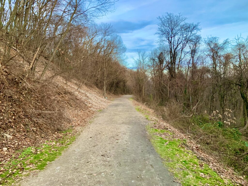
The trail is short, less than one mile out and back. It is an easy walk, except for a short bit of up-hill walking at the beginning of the trail. The trail follows an old trolley path, which allows for wide and mostly flat walking.
Chickies Rock Overlook Trail Parking
While there is a designated and fairly decent-sized parking lot at the overlook, it can fill quickly on beautiful days. Try to visit at less popular times, whether that be in colder weather or early in the morning.
The parking lot is located along busy Route 441, which runs from Columbia to Marietta. The Chickies Rock overlook parking lot is a wide area. It’s easy to see in both directions to pull in and out of the parking lot, but cars can be moving fast on Route 441. Use caution when entering and exiting the overlook trail parking.
Chickies Rock Overlook Trail
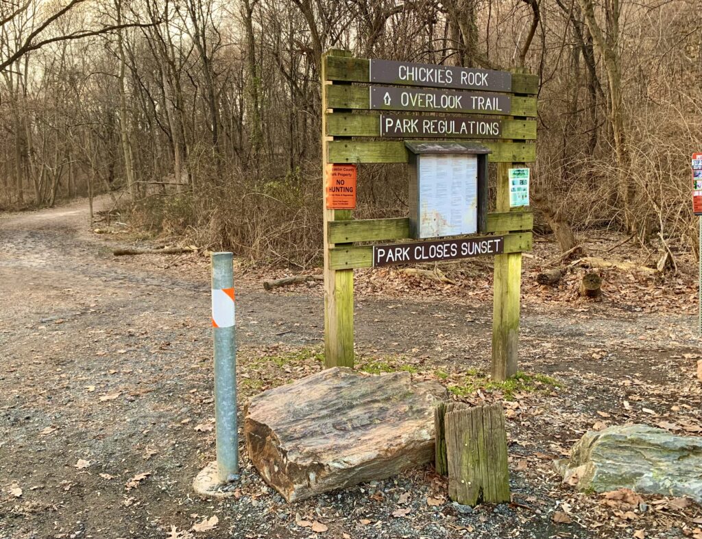
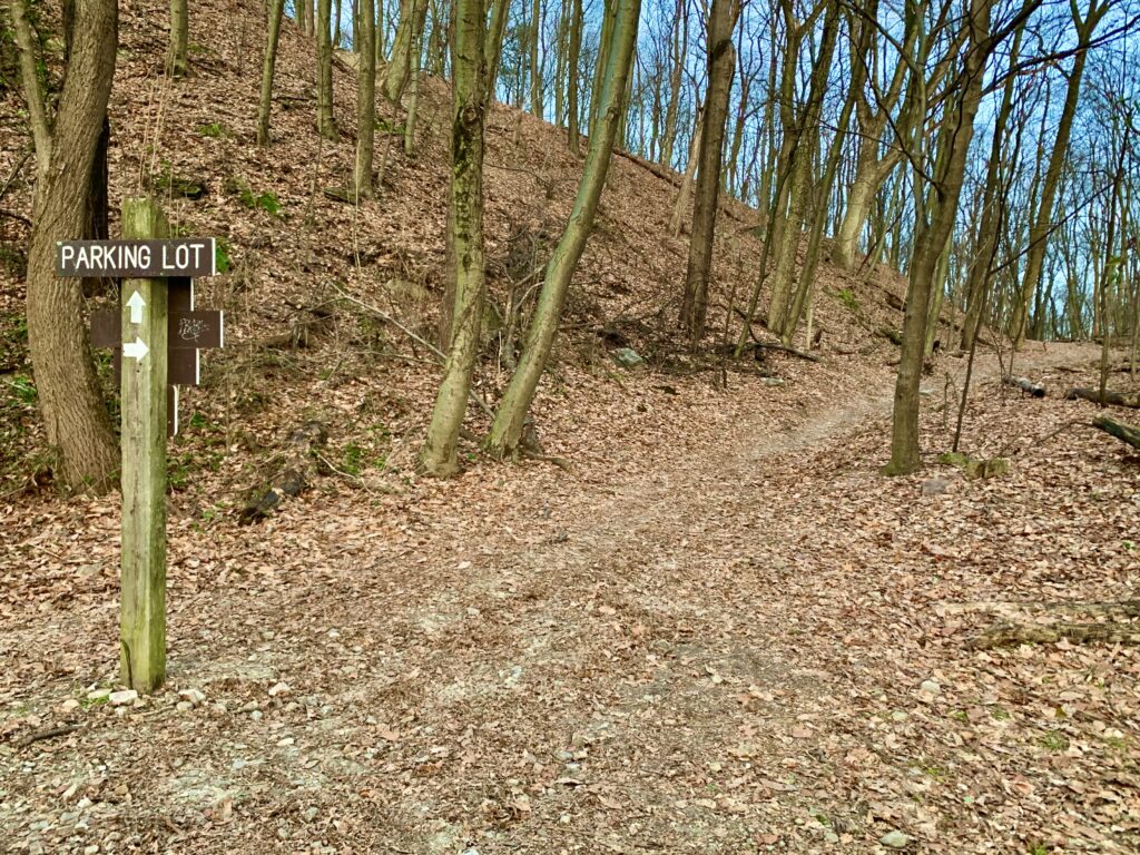
The trail head is obvious from the Chickies Rock overlook trail parking lot. The trail begins with a fairly steep up-hill walk. While it’s a bit strenuous, it doesn’t last long. At the top of this hill, there is a sign indicating two paths to the overlook.
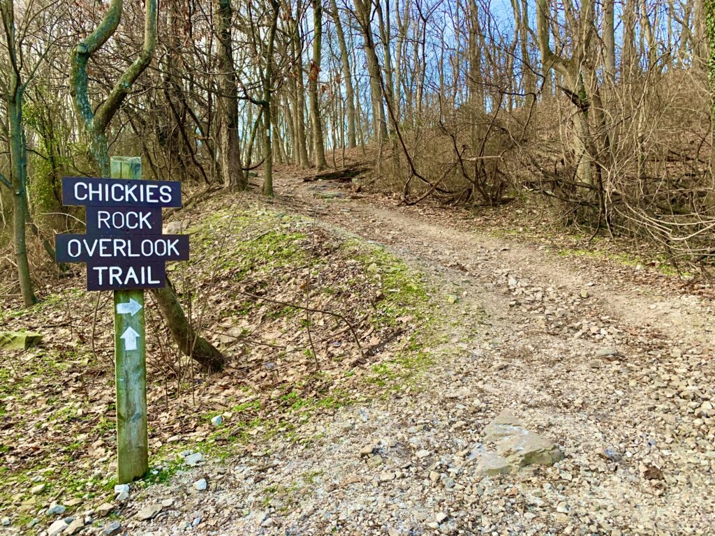
In general, the path up the hill to the right is a much more difficult hike. The path straight, or slightly left, is an easy hike. We initially took the more difficult trail, as we didn’t realize there would be a big difference between the two paths.
At the next intersection of the more strenuous path to the right, we didn’t know which way to go. We randomly choose to continue straight, and we ran into what seemed to be a dead end. We still managed to get to the overlook, but it didn’t seem like the correct path. Therefore, unless you feel adventurous, take the flat path that the sign points to as straight ahead.
Once you reach the overlook, it’s obvious where to see the best views of the Susquehanna River. There is safety fencing and many signs to let you know the appropriate places to go to remain safe. Please follow all safety rules, as the overlook is a rocky cliff.
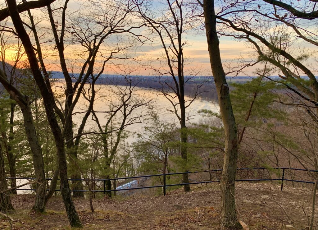
The overlook is about 100 feet above the Susquehanna River. From the overlook, you can see the York County bank of the river. We were lucky to catch a train on the tracks below the overlook.
After taking in the beautiful view, head back in the same direction to the parking lot. There is some signage to help along the way, but it’s a fairly straightforward and easy walk back to the car.
Nearby Attractions
Lancaster County is full of attractions that both kids and adults can enjoy. Check out the Northwest Lancaster County River Trail, White Cliffs of Conoy, National Watch and Clock Museum, Turkey Hill Experience, and Haines Shoe House.